Greenland Heliports
Greenland has around 47 heliports and helistops spread across its remote settlements. They are extremely important because Greenland's terrain is rugged, with fjords, glaciers, and very few roads, so helicopters often provide the only practical way to move people, goods, and medical supplies. Heliports ensure year‑round access, even when sea routes are blocked by ice in winter or weather conditions make boat travel impossible. They also connect small settlements to larger airports, enabling residents to access healthcare, trade, education, and other essential services.
Tasiilaq
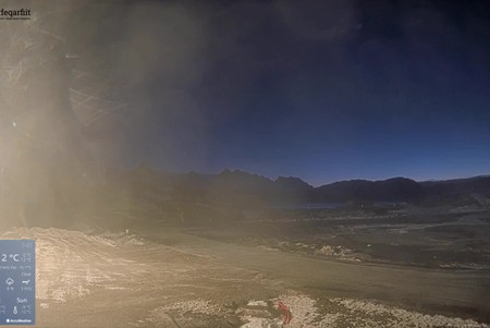
The webcam offers a live view of the heliport and its surrounding area on Ammassalik Island in southeastern Greenland. Tasiilaq is the largest settlement on Greenland's eastern coast, known for its dramatic Arctic landscapes, fjords, and vibrant Inuit culture. Through the webcam, people can see helicopters landing and taking off, the rugged terrain of the region, nearby mountains, and the constantly changing Arctic weather. It provides a unique glimpse into daily life in a remote community and the vital role the heliport plays in connecting settlements and supporting transport and emergency services.
Uummannaq
The webcam shows the heliport and striking surroundings on Uummannaq Island in northwestern Greenland. Uummannaq is famous for its heart-shaped mountain, which towers 1,170 meters above the settlement and dominates the skyline. The webcam captures the icy waters of Uummannaq Bay with drifting icebergs, and the helicopters and heliport operations that serve the settlement’s transport and logistical needs.
Qaqortoq
The camera shows the helipad, nearby waterfront, and surrounding terrain, giving viewers a clear view of the heliport’s functionality. This live feed allows viewers to monitor the heliport’s activity and see how it supports transport and logistics for Qaqortoq, the largest town in southern Greenland with around 3,050 residents.
Narsaq
The webcam shows the helistop in Narsaq and its immediate surroundings in southern Greenland. Viewers can see helicopters landing and taking off, as well as the colorful houses of local residents scattered around the settlement. The camera also captures the nearby waterfront and the surrounding mountainous terrain, offering a clear view of daily life and transport operations in the town. Narsaq is a small town with around 1,400 residents, known for its fishing industry, sheep farming, and as a gateway to the scenic Tunulliarfik Fjord and surrounding Greenlandic landscapes.
Nanortalik
Arctic terrain surrounds the Nanortalik helistop, which the webcam captures along with the houses of local residents. Viewers can see helicopters arriving and departing, as well as activity around the settlement. The camera also shows the nearby coastline and fjords, highlighting the town’s connection to both land and sea. Nanortalik is a small town in southern Greenland with about 1,200 residents, known for fishing and as a starting point for exploring nearby natural landmarks.
